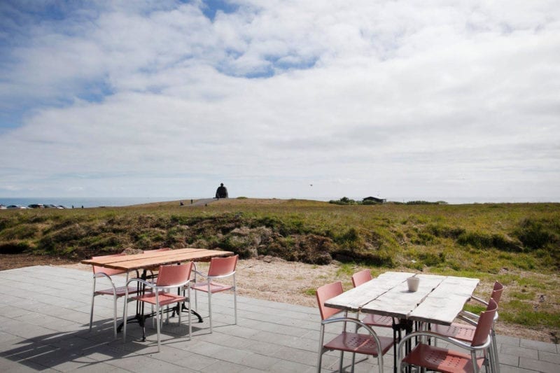

Arnarstapi Center is here to give YOU, the traveler, the experience of a lifetime!
We have a variety of accommodation options for travelers visiting the village of Arnarstapi. Whether you prefer a comfortable hotel accommodation with private facilities, our family houses, a guesthouse with shared facilities, unique cottages, apartments that can accommodate up to 6 persons or a campsite for the adventurers that love sleeping in tents or camper vans under the Icelandic stars, Arnarstapi Center is the place for you.
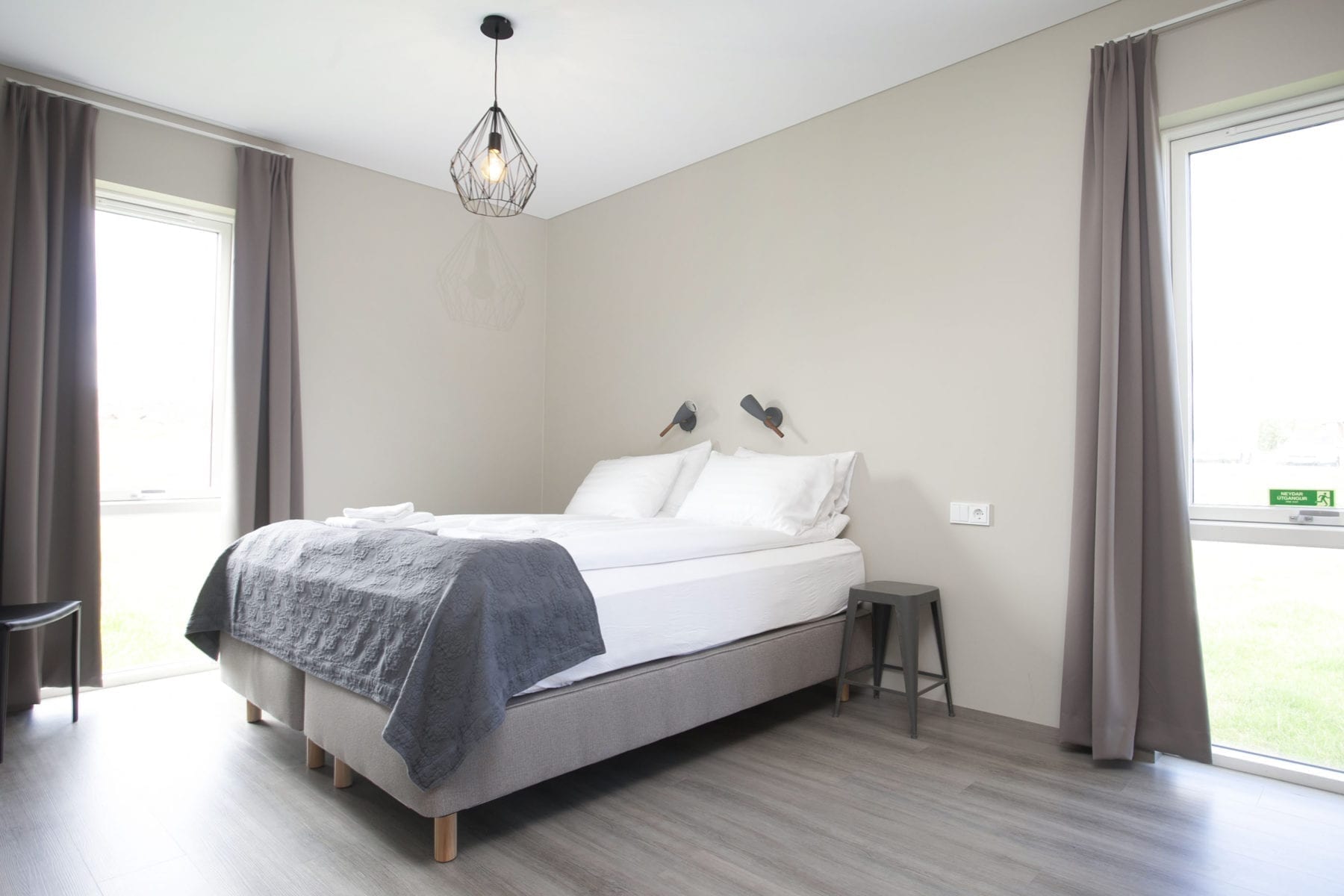
Our Arnarstapi Hotel counts with 36 rooms, 22 double or twin, 10 triple rooms and 4 apartments suitable for up to 6 persons.
Book nowLooking for something cozier? We have 13 lovely cottages suitable for 2 adults and 1 child. Arnarstapi Cottages are perfect at any time of the year!
Book now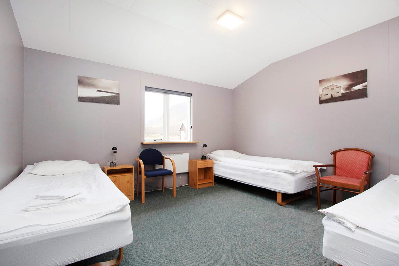
Our Arnarstapi Guesthouse has 8 rooms, 5 double rooms, and 3 quadruple rooms for you to enjoy your stay with family and friends!
Book now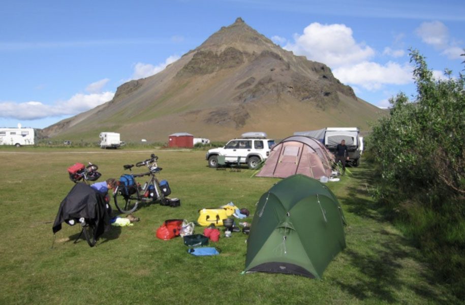
The Arnarstapi Camping is here! If you are an adventurous soul, this is the perfect option for you.
Book now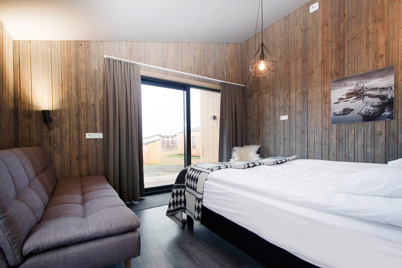
Want to spend some quality family time? Our Arnarstapi Family Houses are great for your stay!
Book now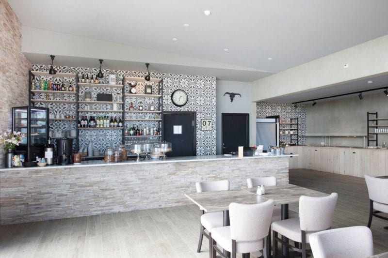
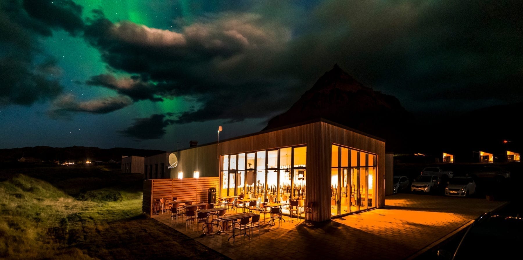
Snjófell Restaurant
A Seasonal Contemporary American menu with the best ingredients from northeast Iceland.